MOBILITY · DELIVERY · LAST MILE · URBAN TRANSPORT
Rides don't get pricier and deliveries don't run late by chance. They respond to heavy rain, flooding and extreme heat.
In the same downpour, demand for rides and orders spikes while the supply of drivers and couriers drops. Anticipate climate risks by corridor and neighborhood, size the fleet before the peak and protect the people out on the street.
+10,000 actionable alerts per year applied to real decisions







Weather is the biggest unmanaged risk in mobility and delivery operations
R$25 → R$60
In Campo Grande, Brazil, a storm with gusts above 80 km/h pushed rides that cost up to R$25 to nearly R$60, and residents couldn't get home. Localized rain wipes out driver supply within minutes, and surge pricing passes the cost on to the rider.
1.5 minutes
of extra waiting time is enough to predict a 37% drop in ride demand. What should drive fleet reallocation is waiting time, not the amount of rain.
+20% delays
in deliveries in Shanghai and Hangzhou during periods of extreme heat and high demand. Couriers completed more orders per hour, but the orders were scattered across the city.
Heavy rain, flooding, extreme heat, lightning. In every case, the driver went home, the courier stopped, and the event arrived before the decision.
The decision before the rain, the flood and the demand peak
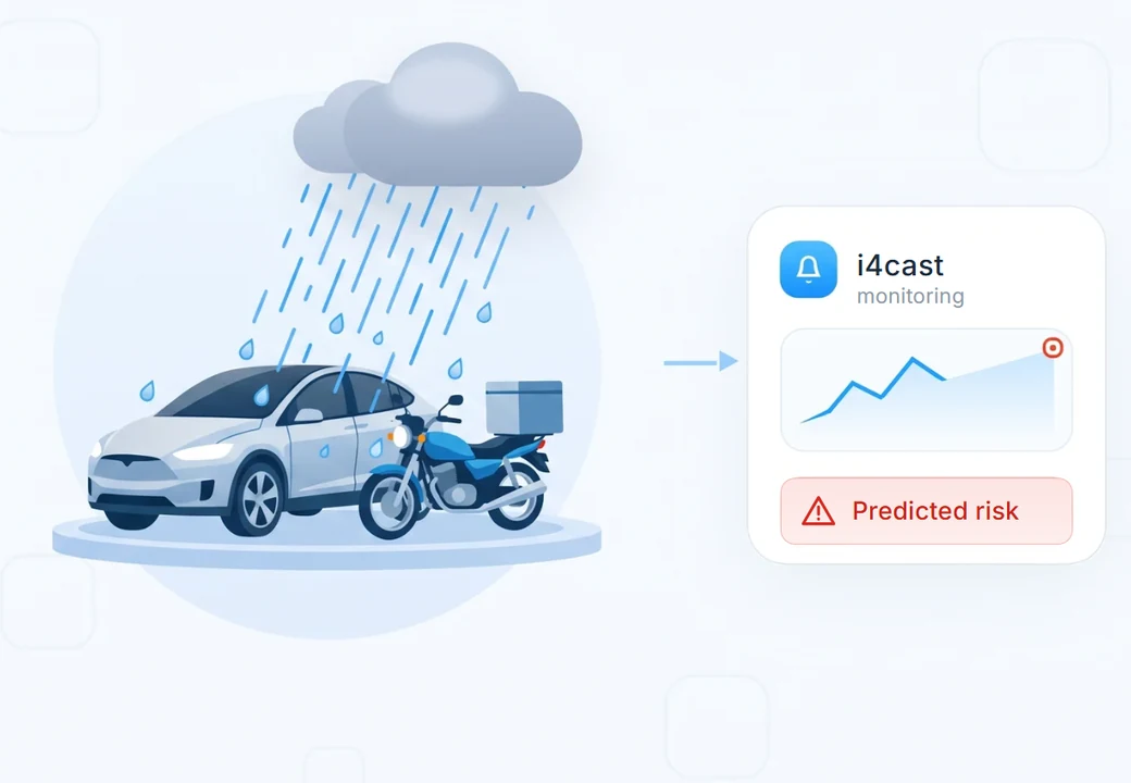
Climate risk anticipation by corridor and neighborhood
Know in advance when heavy rain, flooding, lightning, gusts and extreme heat will hit each corridor of your operation. The forecast doesn't say "rain in São Paulo". It says "Ricardo Jafet corridor, rain above 20 mm/h between 6 PM and 7:30 PM, driver and courier supply below the critical threshold".
- Heavy rain
- Flooding
- Lightning
- Gusts
- Extreme heat
- By corridor
Fleet and demand sized before the peak
Every alert becomes an operational decision: where to reallocate drivers, how many couriers to pre-position, when to trigger incentives, when to extend the promised ETA and when to shrink the delivery radius. The operation acts before the wait queue builds up, instead of only adjusting the fare afterwards.
- Weather-driven demand forecast
- Fleet reallocation
- Incentives at the right time
- Fewer cancellations
- More realistic ETAs
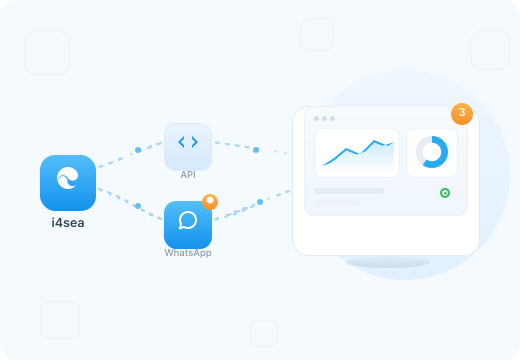
Safety for people on the street and intelligence built into the operation
Heavy rain and flooding change the operation within minutes. In Brazil, 2.2 million people work as app-based couriers or drivers; in heavy rain, visibility drops, routes can become impassable and anyone on a motorcycle or bike is even more exposed. With forecasts by corridor and neighborhood, the operation can avoid flooded areas, reroute trips and protect the people out on the street. Integrated with the dispatch system, the driver app and channels such as WhatsApp, Teams, SMS and email, the alert becomes action: pause an area, divert a route or warn the team before the flooding compromises the operation.
- API
- Dispatch and routing
- Protocols by alert level
The next storm costs more than monitoring.
You can't control the weather, but you must manage the risks.
Climate intelligence for mobility and delivery: frequently asked questions
The next storm costs more than monitoring.
You can't control the weather, but you must manage the risks.
It's hyperlocal weather forecasting translated into operational decisions for those who move people and goods around the city. It anticipates rain, flooding and heat by corridor and neighborhood and shows the impact on four fronts: demand for rides and orders, supply of drivers and couriers, waiting time, and the safety of people out on the street.
Because driver supply drops exactly when demand rises, and surge pricing reacts to that imbalance. In São Paulo, heavy rain and a shortage of drivers can push fares up by 70%, according to an economist interviewed by Exame (2026). With lead time by corridor, the fleet is reallocated before the peak and price doesn't have to be the only lever.
Each region of the operation is registered as a monitored area: corridors, neighborhoods, hubs, dark stores and historically flood-prone spots. The model cross-references the hyperlocal forecast with your operational thresholds and generates area-specific alerts.
It depends on the phenomenon:
- Nowcasting (imminent heavy rain, lightning): 15 min to 2 h
- Storms and gusts: 1 to 6 h
- Flooding from accumulated rain: 2 to 12 h
- Cold fronts and prolonged rain systems: 3 to 10 days
- Heat waves: 5 to 10 days
Yes. Each area has its own rules and alert levels. You define what is critical, for example an overpass that floods, a high-demand neighborhood or a corridor with many cancellations, and receive individual alerts.
Yes. We cross-reference the weather forecast with the operation's history of rides, orders, cancellations, waiting time and ETA to estimate how each event affects demand and supply in each region.
Yes. We deliver via REST API, WhatsApp, Teams, SMS and email. For integration with dispatch, routing engines and driver and courier apps, we set up webhooks during onboarding.
3 weeks, in 3 stages:
- Mapping of critical areas (corridors, neighborhoods, hubs, flood-prone spots)
- Calibration with the history of events, rides, orders and operational thresholds
- Setup of alerts, channels and training for the operations team
Heavy rain · flooding · lightning · gusts and falling trees · hail · extreme heat · fog and reduced visibility · cold fronts.
The cost of i4cast is a fraction of the loss from a single poorly managed peak, adding up canceled rides and orders, emergency incentives, refunds, negative ratings and accidents. Late arrival alone accounts for 48% of cancellations on ride-hailing apps (Autopapo, 2026).
Three main differences:
- Resolution: 1 to 3 km, versus around 25 km for public forecasts, with 100+ AI scenarios, 18 hydrometeorological hazards and 10+ years of historical reanalysis.
- Operational language: we deliver impact on demand, supply and waiting time by corridor, with a recommended action, not a rain map.
- Evidence: an auditable trail per event for insurance, compliance and occupational safety.
- 100+ AI scenarios
- 1 to 3 km resolution
- Evidence trail